PROJECTS
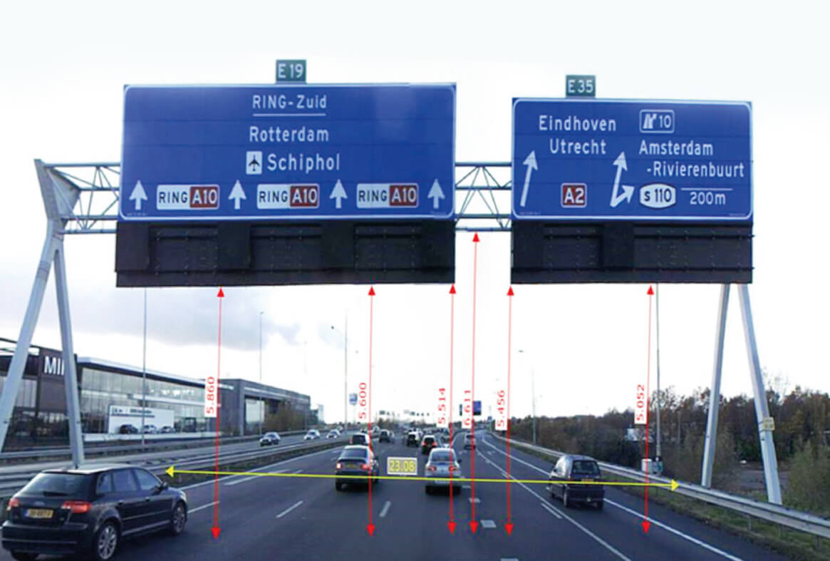
3D Mapping A10 Highway ,Netherlands
3D mapping of all point objects on the A10 highway in the Netherlands (digital surface model), 3D mapping of all barriers, 2D mapping of road lines created by using aerial photography and point cloud. Also, the distance between road signs and bridges and road widths were measured within the scope of the project.

Project Details
Project Zuidplus
Volume 32 kM
Customer:

